Video at normal speed on Youtube channel SUENORD1 (https://youtu.be/0PILfkegGkQ)
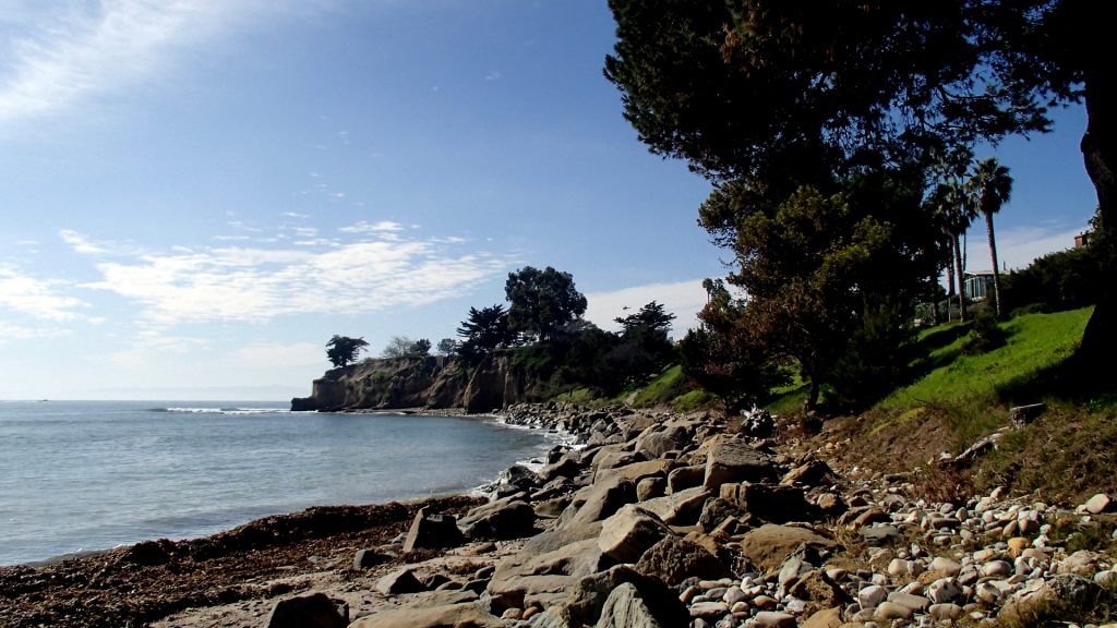
On Wednesday morning (Feb. 15th), I parked the van on the waterfront in Santa Barbara. The bike path starts on the eastern end of the Andree Clark Bird Refuge. It follows the shoreline northwards until the beach ends in a stony cliff. There is a sidewalk continuing upwards, but I was not looking for that kind of challenge.
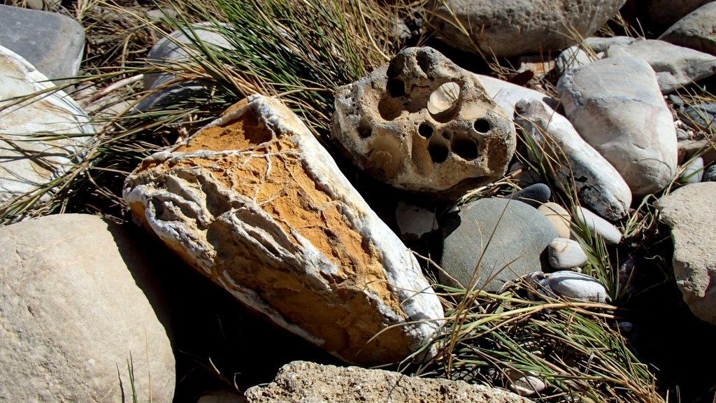
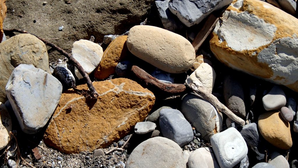
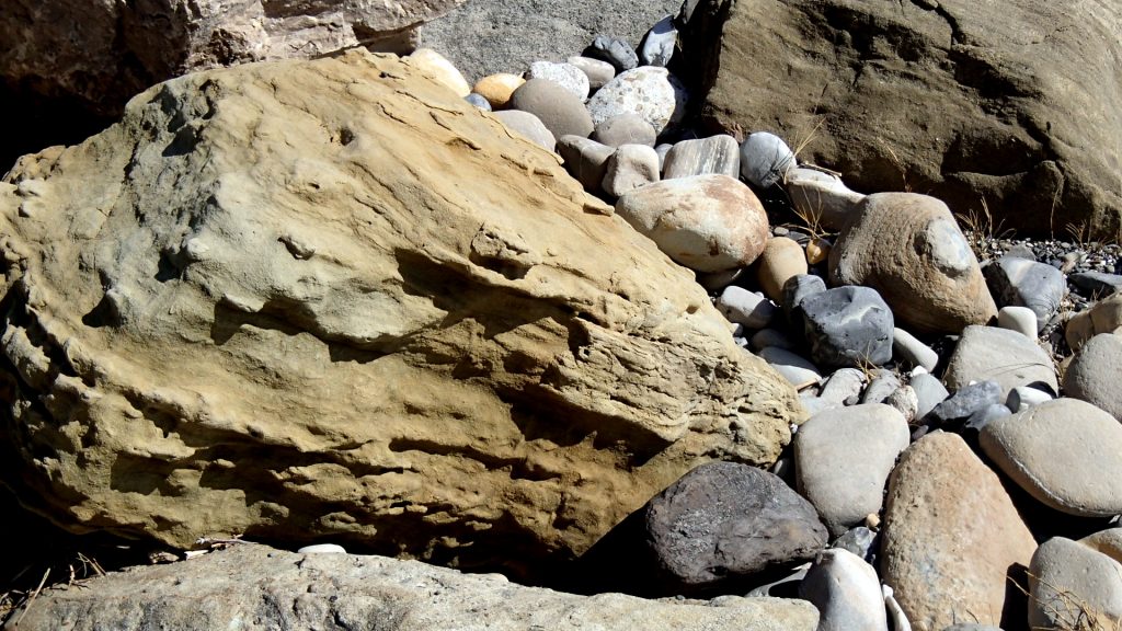
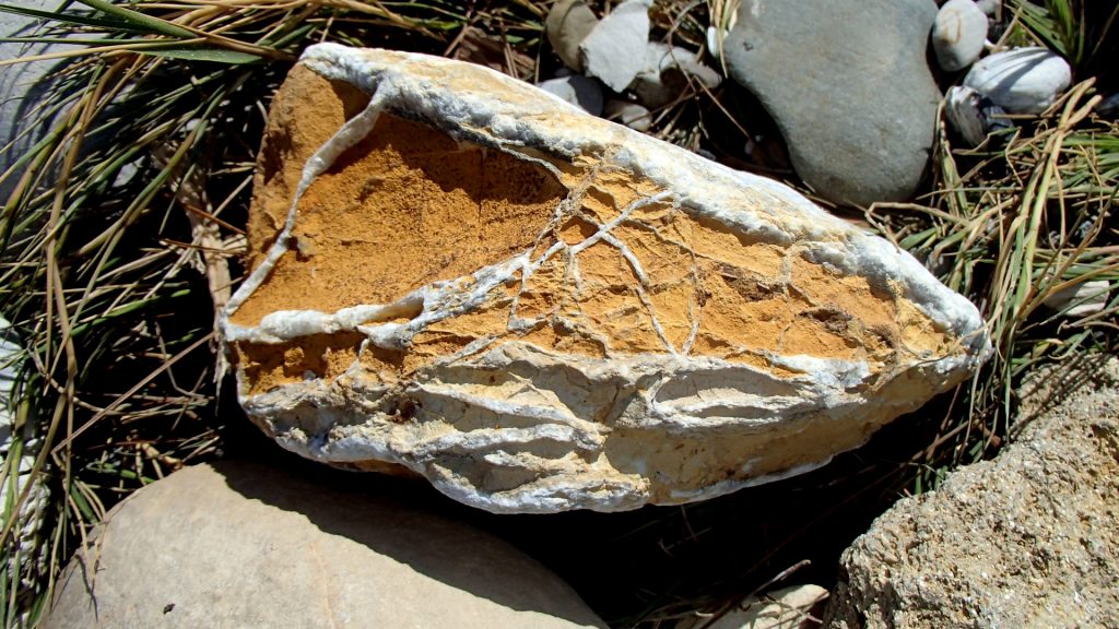
I drank my can of root beer and took photos of the wonderful boulders at the end of the beach. Some were full of holes bored by marine life, some were beautifully textured sandstone blocks with pinkish stripping, and some were calcareous chunks that looked like coral, but were probably built by tube-worms. I biked back to my van on the Southern end of the Bay, and headed for Venice Beach.
On Thursday afternoon, I got lost in my home town of Los Angeles. I must have spent an hour trying to extricate myself from the campus at UCLA. There were no-parking signs everywhere, and I finally blundered my way down to Marina del Rey, caught in rush-hour traffic most of the way. At least one has better time to react at 10 MPH. My Norwegian smartphone needs wifi to download any details on Google Maps, so I am lost most of the time.
I drove into a marina, which seemed safer than Venice Beach, which boasts some rather eccentric characters, at least along the waterfront. Cars came and went all night, but I was probably the only hobo there.