Reno-March 13th-4.2miles

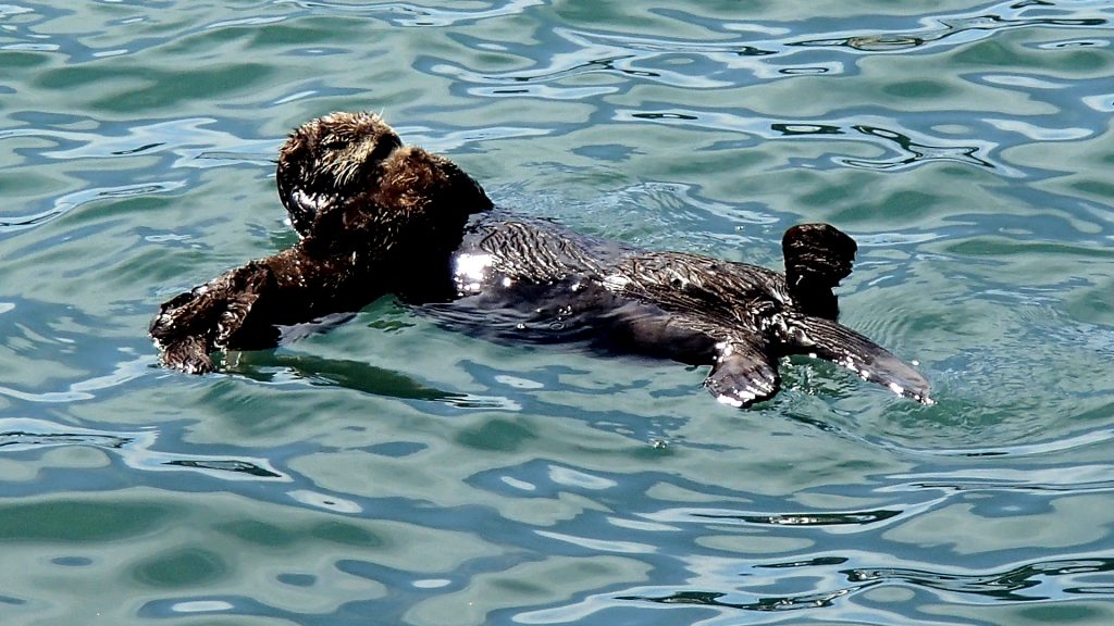
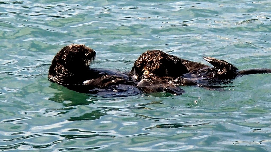
Video at normal speed on youtube  channel suenord1 (https://youtu.be/oKY-yPb0nsE)

I returned to my sister’s house in Reno on March 6th, having fled the Grand Canyon, where I had intended to film the following day. The wind was howling at the Grand Canyon, and snow and subsequent  -4 degrees Centigrade were being forecast for that evening. I didn’t have car chains or snow tires, so I had to get somewhere warmer pretty quickly.


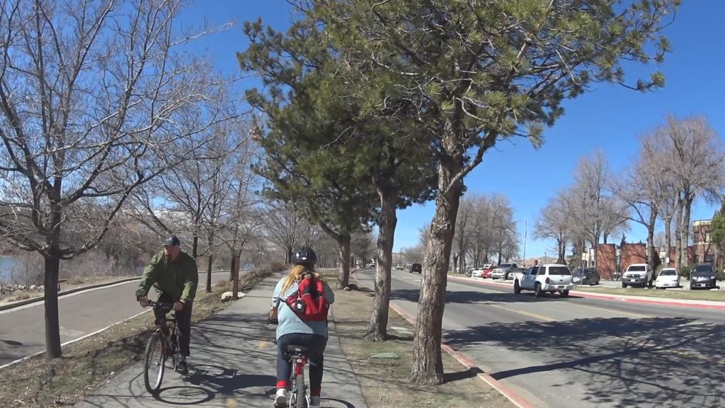
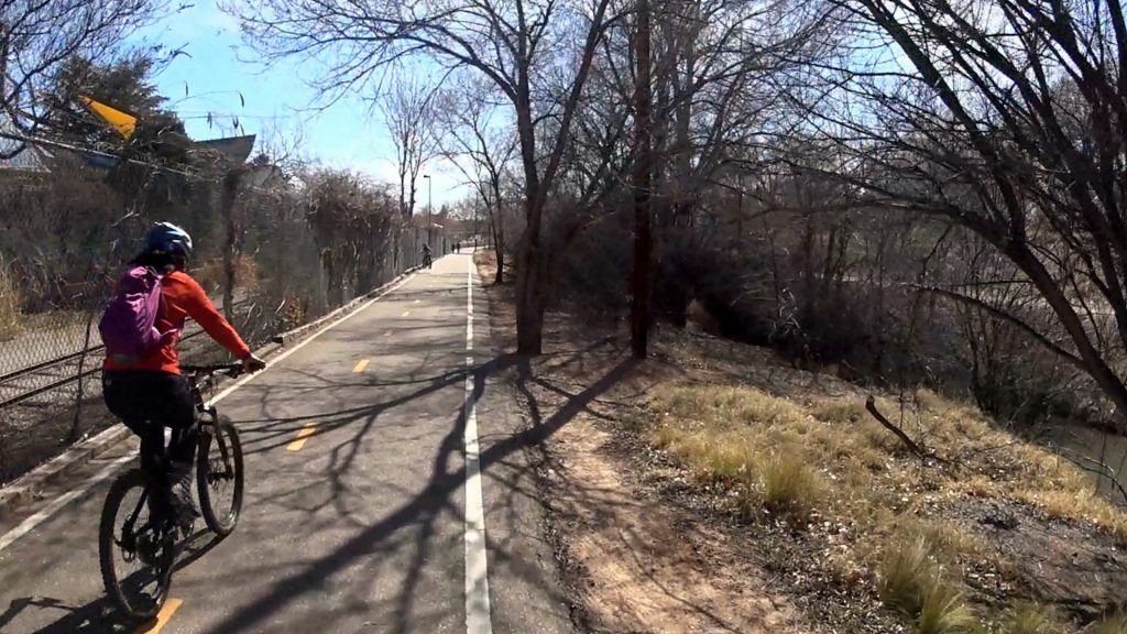
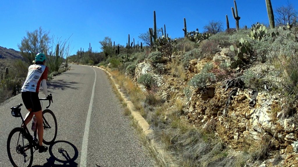
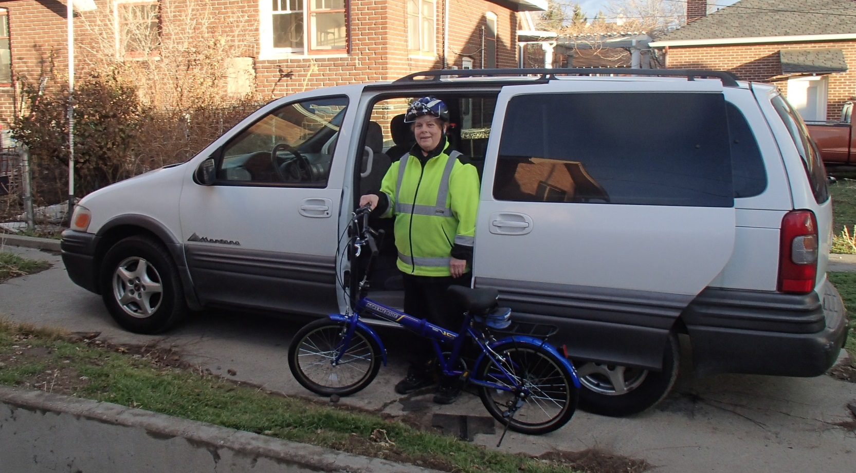
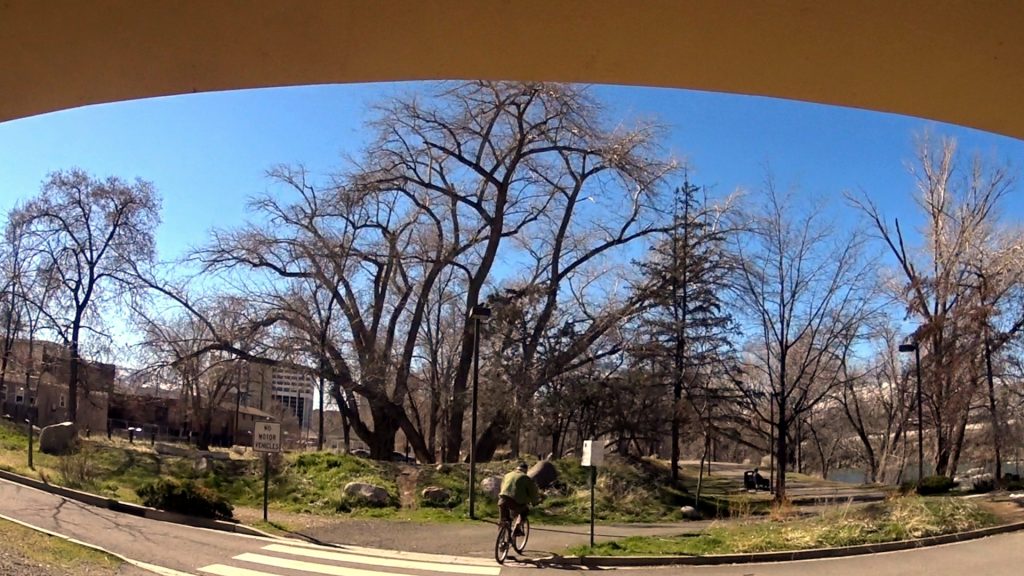
A couple of days after I got to Reno, however, the temperature got up into the 70’s F, and I decided to take a bicycle ride with my sister. We pumped up her tires and put the bike in working order with odds and ends left over after I had put my folding bike together.

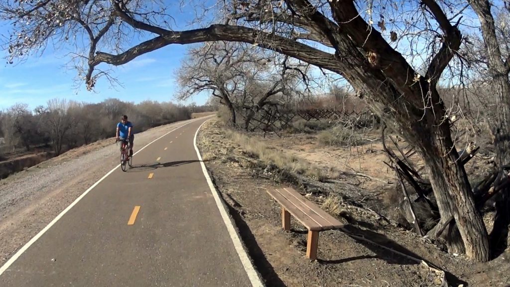
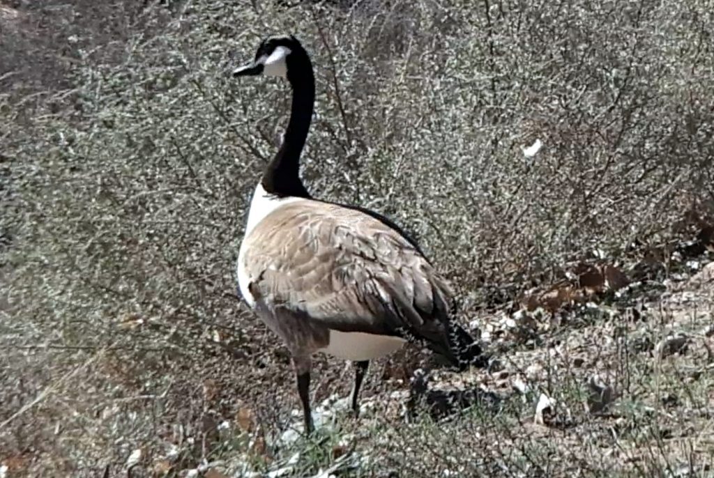
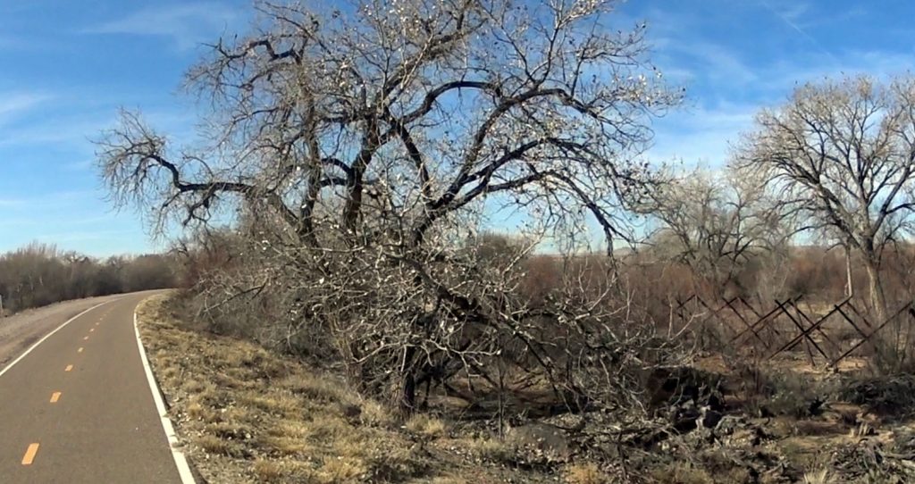
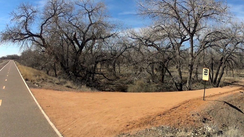
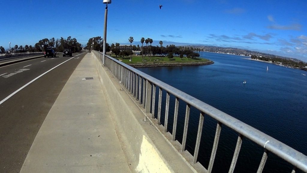
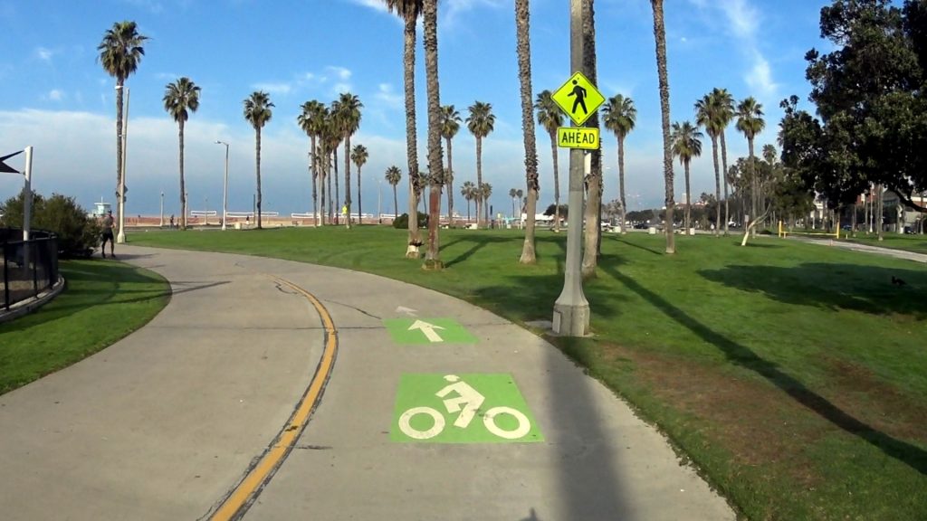
We parked along the Truckee River east of the River’s Edge RV Park, and headed upstream. The snow-clad Sierra Nevada loomed in the backdrop of my video. The bicycle path was paved and mostly level, though the geese had made a pile of deep sand at one point.

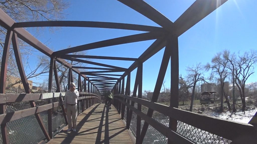
There were a few people on the Tahoe-Pyramid Bikeway (which becomes the Truckee River Walk when you get downtown).  We got lost when we crossed the river at Lake Street, and missed the path along the north side of the river. We ended up on 1st Street, which became a one-way street going the wrong way on the second block, and finally fumbled our way back to the River Walk. We continued to Arlington Avenue, where I rode south over both branches of the river (the second one is for kayaks).  I filmed a little ways up Island Avenue, then went back to a little park and rode over a foot bridge back to Truckee River Walk and S. Arlington Avenue.

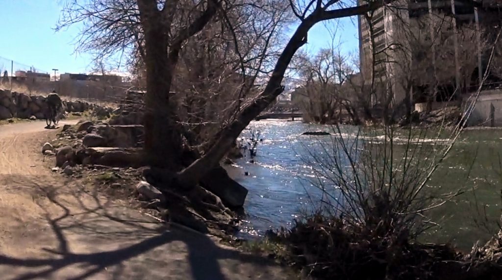
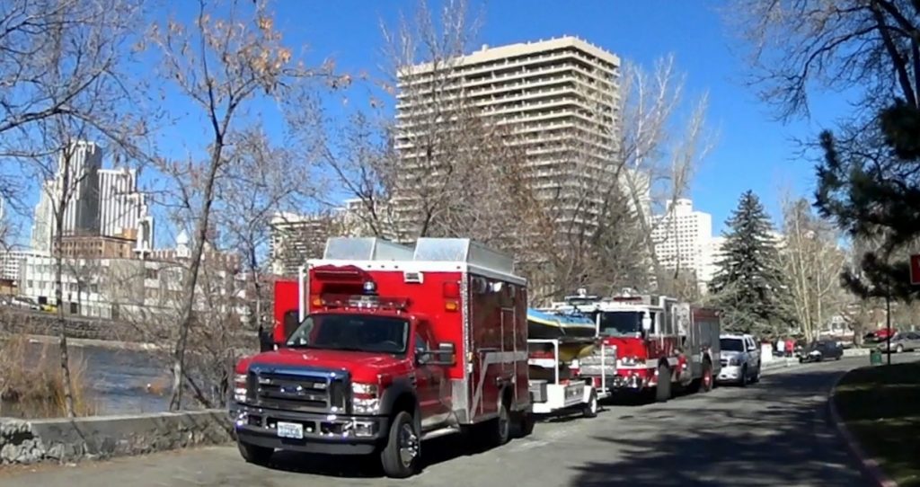
The river was running much higher than usual, and the emergency services were practicing rescue techniques on the river. Many people were simply out soaking up the sunshine, since this was the warmest day they had had since the previous Fall.

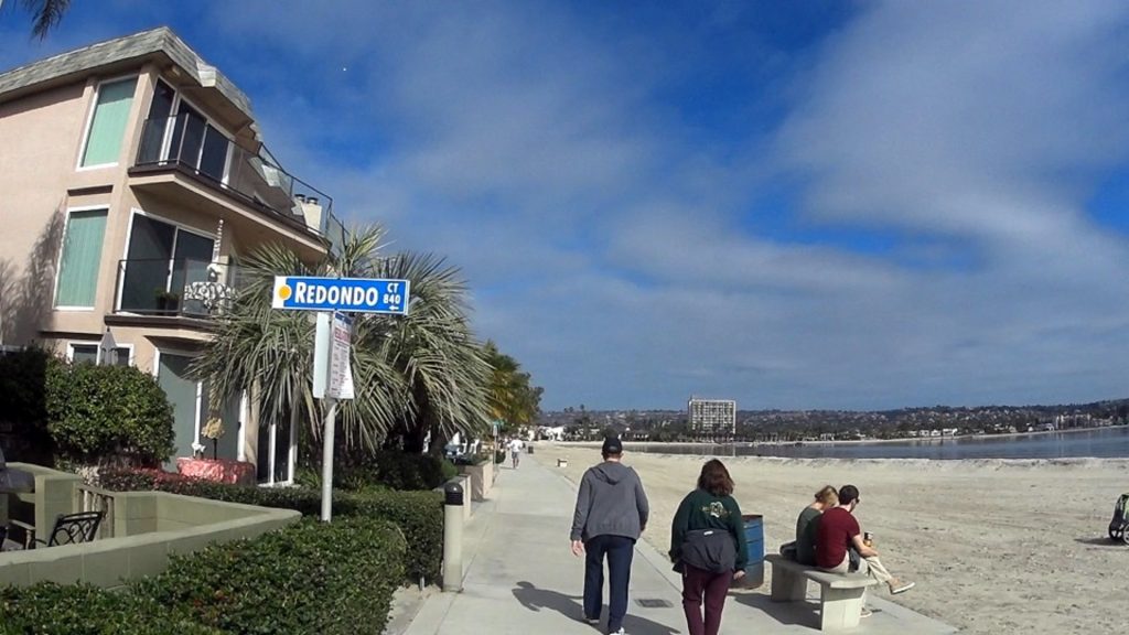
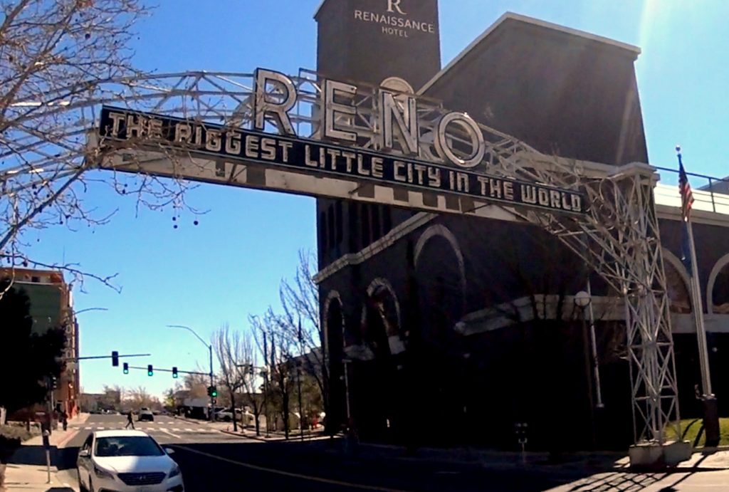
I think this is a very interesting area to bike, if you are looking for a new town to explore. Reno calls itself “The Biggest Little City in the World”, and it has a lot to offer.


Albuquerque-March 4th-10.3 miles

Video at normal speed on youtube  channel suenord1

(https://youtu.be/7iD_DFo9Ktc)

I got to Albuquerque in the afternoon of March 3rd, and found a 24 hour Walmart parking lot where I could spend the night and use up too much money.  There was a rather interesting van in the parking lot, obviously also camping, although it had a more striking profile than my own car.

In the morning, I drove to the Alameda Open Space parking lot on highway 528. The Paseo del Bosque Trail continues further South from the parking lot. There is a restroom there. Last chance! Also, take water. No drinking fountains on this path!

The trail is level and paved. There is often a gravel foot path parallel to the main trail. Quite a few bicyclists and joggers were out exercising, and the temperature was about 70 degrees F. The path goes parallel to the Rio Grande, but most of the scenery consists of an overflow ditch on one side, and a lot of striking but leafless trees on the other side of the trail. It is probably a lot more verdant in the summertime. The river itself is apparently on the other side of the trees. 

Almost everyone I passed greeted me or nodded. There were some fairly large groups of joggers. The only wildlife I saw was a wild goose, which was pretty tame. A colorful hot-air balloon also flew over me; a lovely sight in the blue sky. 

I followed the trail past the ABQ Bio-park Zoo (saw a sign advertising an insect farm), and reached Bridge Boulevard. Instead of taking the correct bus back to the parking lot, I walked about two miles North before I found a bus which took me back. I suggest that you check the bus routes before you attempt to return to your car. There is a pretty high hill along the West side of the river!

You can go further South on the trail. The name changes to   the Riverside Trail. 

I had planned to film in the Petrified Forest and along the North Rim of the Grand Canyon between Albuquerque and Reno, but did not have suitable weather conditions, so I will just temp you with a few snapshots until I can return in the Fall and do the job properly.

New Orleans-Feb. 27th

Video at normal speed on Youtube channel SUENORD1 (https://youtu.be/6sr21fBJSXc)

I parked about an hour out of town, to avoid the traffic chaos I expected in conjunction with Mardi-Gras.  The busses are frequent, the drivers helpful and the busses are all equipped with bicycle racks in the front. These were identical to those in San Diego and Monterey. I am beginning to get the hang of them now. Each bus can accommodate two bicycles.

I thought I had all the things I needed for filming, but after boarding the bus, I realized that I had forgotten the most essential item- my camera!

Video at normal speed on Youtube channel SUENORD1 (https://youtu.be/14559QPrCAE)
The driver let me off, along with my ticket, and I caught a bus going back on the opposite side of the road. I retrieved my camera and started back towards the French Quarter again.


I had a tentative plan concerning where I was going to film,  but between the ubiquitous one-way streets and the packs of excited tourists, I had to just zig-zag back and forth through the French Quarter wherever I could get through. I eventually arrived at the French Market. We docked my ship right across the street once, but were sent out to anchor off Texas because the shipowners were watching an approaching hurricane, and were afraid we might get stuck up the river if it got any closer ( I think that one hit the coast West of New Orleans.) There was a trolley station right between the ship and the French Market.

The Market is packed with people, so you have to bike on the land side. After a few blocks, where the pier building ends, a bike and pedestrian walkway along the waterfront begins. Again, during the Mardi-Gras, at least, you will have to walk part of the time. Bands were playing all the way to the ferry landing. You have to lock your bike and go inside the ferry building to buy tickets. As a senior, I only paid two dollars for a round-trip. They have discounts for busses also, but the 54 minute -long bus trip with bicycle only costs a dollar and a half anyway. On the ferry, people with carriages, bicycles, wheelchairs etc. are sent to the main deck. The boat seemed almost empty on the way over the river, but most of the passengers were probably up in the passenger lounge.

I biked from the ferry landing along a level, almost unpopulated bicycle path along the river levee. It goes at least a couple of miles further than I filmed, according to a jogger I asked. There was no sunshine, but it was a pretty ride. I suspect the houses on this side of the river reflect the pre-tourist atmosphere of New Orleans more faithfully than the chaos on the North bank. It is a lot quieter, at least.

Video at normal speed on Youtube channel SUENORD1 (https://youtu.be/liDpIqJCgns)

There were apparently tourists on the South side of the River also. The boat was packed on my return trip. I don’t know where they all came from!

Anyway, my next filming project is in Albuquerque, New Mexico. Presumably the long car-run will allow me to charge up my camera batteries properly!

Galveston Boardwalk-Feb. 25th-6.2 miles

Video at normal speed on Youtube channel SUENORD1 (https://youtu.be/iiexkysurzI)

I started my bicycle ride at the McDonalds on the East end of Galveston Island. You can actually bike out a couple of more miles along the breakwater where the ships come in from offshore, but it only offers a slab of cement on one side of the road and a swamp on the other side. The Boardwalk goes for miles to the West from this point, but I only filmed about 6 miles.

Galveston is my old stomping grounds, since I worked on a diving vessel for 8 years, and this was its primary port. When I went ashore, I used either my little electric Walmart scooter or an electric adult tricycle I put together to get around on.

After cycling a couple of miles, the boardwalk began to fill up with large numbers of colorfully dressed people. It turned out that they were waiting for a Mardi-Gras parade which would go down the street.  I maneuvered the bike through all the spectators, and the mob gradually thinned out to normal winter density. There are many events all year round; outdoor art shows, an enormous motorcycle meeting and assorted parades. The climate is normally ideal, but a hurricane severely damaged the island a few years ago, and the process of repairing the damage seems to have gone into high gear.  4 years ago, when I was still working out of Galveston, the cement plates of the boardwalk were still pretty uneven. They have been repaired, and the beaches are being rebuilt.

We took the ship out to sea as the hurricane approached. All of the shipping piers were under water during the storm. We worked out of other ports for about a year while the docks were being rebuilt.

This is what the Seawall looked like after Hurricane Ike in 2008.

.

As you bike West along the boardwalk, the buildings gradually become more scattered.  Actually, the portion I filmed was the most interesting part, from my viewpoint. If you intend to bicycle fast, you should start about where I turned back East again.

Galveston is a nice area for biking, and the older section of town on the North-east side is full of art shops and restaurants. The trolley system was ruined by the storm, but there are some small buses that go along Broadway street. They do not follow the Seawall Boardwalk.

Now aware of Mardi Gras, I headed for New Orleans after returning to the van. I took the ferry in order to bypass Houston. They go frequently, and I assume they send you a bill based on your car license plates. They didn’t ask for any money, at least. I could see several grass-fires in the wetlands along the road. I don’t know if they were accidental or on purpose.

Saguaro National Park -Feb. 22-8.1miles

Video at normal speed on Youtube channel SUENORD1 (https://youtu.be/dhw3GIuQzb0)

I arrived in Tucson before dark and found a 24-hour Walmart to explore. In the morning, I decided to trust the navigation program on my smartphone, and it took me directly to the park Ranger station, where I bought a National Park and  recreation area pass. There were a lot of people on bicycles, but none on 20″ bikes.

The first half of the 8 mile loop was pretty easy, though I walked up a couple of small hills. It was very pretty. They have had a lot of rain this year and in addition, the runoff from the paved road probably provided an extra sip of water to the adjacent cacti. There were many saguaros, and I could recognize ocotillos, cholla and beaver-tails. As a child, I once tried to take a cactus flower home in my pocket. Not a good idea!

Not many flowers were in bloom, but I suspect that the cactus forest had seldom been so green!

The last part of my “bicycle ride” was taken on foot. There was a long upward gentle but persistent slope with an over 400-foot increase in elevation, and a few short hills after that. The whole loop took me about an hour and a half. Most of the bikers went up the hill the hard way. One couple from Canada had electric bikes. Most of the people in my age group used cars.

The weather was beautiful, and I hope my video will be pretty also, when I get it back home. Next stop Galveston!

Mission Bay Bicycle Path-Feb. 20th-10.9 miles

Video at normal speed on Youtube channel SUENORD1 (https://youtu.be/NDp-tpkuwoo)

The bike path around Mission Bay starts at Bayside Lane and West Mission Bay Boulevard. It is not as crowded as the path along the seaside and has just enough people out on it to make it interesting. There had been some wind earlier, which left a few patches of sand on the sidewalk. Be careful! Hitting these sand patches is like bicycling on ice! On the East side of the bay, the bike path disappears occasionally, but reappears if you just follow the paved roads and cross the parking lots, keeping as close to the water as possible. On the Southern and Eastern sides of the bay there are often just lines along the side of the road to mark the bike routes.

There are two bear-traps you should avoid. The first is the road to Fiesta Island. A lot of bikers seem to go that way, but it is a DEAD END!
The second is  the Ingraham Street Bridge. If you take that, it is quite a climb, and you will not end up at the beginning of the bike path. Nice view, though!
To return to your starting point, you need to follow the bike lane Northwest on West Mission Bay Drive.
This will return you to your starting point.

If you have children, all of the parts of the route that don’t run on open roads are safe. The kids should be old enough, however,  to avoid other bicyclists.

The sun was supposed to be bright this day, but it was partly hazy. There was enough sunshine, however, to top off the burn from the previous day.

I bought a long-armed bright yellow sweatshirt from Walmart, and headed East on I-8 headed for Tucson and the Saguaro National Park.

South Mission Beach Park to La Jolla Cove-Feb. 19th-7.7 miles

Video at normal speed on Youtube channel SUENORD1 (https://youtu.be/vXwz3_6mvW8)

I arrived in San Diego on Saturday evening. I went to Clairemont Mesa to camp in my van, because I once lived there for a year, when I was working for Scripp’s Institute of Oceanography. That was 45 years ago, but the residential area hadn’t changed very much.

It was supposed to be overcast on Sunday, but I drove down to South Mission Beach, where the parking was free and there were restrooms and water fountains. At about 10 am, the sun broke through the overcast, so I unfolded my bicycle and headed up the bicycle path, which continued Northwards to the end of the beach several miles to the North. The whole area was well-maintained, and more importantly, level!

There were a lot of people on all kinds of muscle- and battery-powered vehicles, as well as joggers (who generally trotted past me as if I were  standing still). This is not a route for any bikers in a hurry, and I assume that the bike path is almost totally impassible during the summer. There were small businesses and rental apartments along long stretches of the bicycle/jogging path. Very entertaining and neat.

Eventually, I came to the end of the beach and continued towards La Jolla Cove. Most of the time, I stayed fairly closed to the coastline, but for a short period I followed La Jolla Boulevard. The bicycle route in La Jolla was laid out with the more serious exercise bikers in mind.  I will make a map of my route when I get back to Norway. With a little planning, you should be able to stay closer to the beach.  There are some hills in this portion of the route, and I walked up a couple of them, but they weren’t too difficult. I walk up almost all inclines with my little 20″ bike, though. Filming is my priority, and I am 69 years old, which conveys some privileges.

I learned to scuba dive at La Jolla Cove, but I wouldn’t have recognized it without a map. The surrounding area has been revamped entirely. It has been landscaped so that a colony of birds and another of seals can be approached by tourists armed with cameras without disturbing the animals at all. There are sidewalks overlooking the cove, restrooms and drinking fountains. There were also hoards of tourists, and I can’t even imagine what it looks like in the summertime.

I went uphill a couple of blocks, and caught a bus about 2/3 of the way back to South Mission Beach. The busses don’t come very often, but like those in Monterey, they have bicycle racks on the front. You squeeze the bars on the racks to tip them down, turn the bike so that the front wheel faces the middle of the road, and raise a lever that secures the front wheel. I biked the last bit back to my van, since it was a nice sunny day by that time. Also fried my face and arms, since my yellow jacket was too warm! I drove back to Clairemont Mesa to camp again, after wandering in wonder through Walmart.

Venice Beach and Santa Monica Beach-Feb. 16th-5.7 miles

Video at normal speed on Youtube channel SUENORD1 (https://youtu.be/A9vakIfCfQw)

When I drove to the beach parking lot at the Southern end of Venice Beach, a man who had been out surfing gave me his parking ticket, which was valid for another 5 hours.  An auspicious start for my enterprise!


There were a lot of homeless people camped along the wayside. The businesses on the adjacent “boardwalk” weren’t open yet.

The bicycle path actually consisted of two paths. The Ocean Front Walk actually goes along both Venice Beach and the Santa Monica beach front.It is about 5.7 miles long.

The whole stretch is level, and there are both nice children’s playgrounds and a skateboard/ trick bike-riding rink along it. Also beach-volleyball courts. The main attraction is always going to be people. The beach is so wide that you can seldom see the waves, though it gets closer on the Northern end. I was going to film the Venice Beach boardwalk on the way back to the car, but I would have had to walk my bike. The boardwalk is a long stretch of varied and interesting shops and cafes. There were dozens of street musicians also. Even in February, the street was packed with people, and the temperature was 20 degrees C. The whole bicycle path is level. I am going to visit my sister who lives out past San Bernadino, then take the inland route to San Diego. I have had enough of freeways for the time being! A massive rainstorm is supposed to hit most of the state tomorrow, so I can safely take a break!


Yellow Jacket in Santa Barbara-Feb. 15th-3.6 miles

Video at normal speed on Youtube channel SUENORD1 (https://youtu.be/0PILfkegGkQ)

On Wednesday morning (Feb. 15th), I parked the van on the waterfront in Santa Barbara. The bike path starts on the eastern end of the Andree Clark Bird Refuge. It follows the shoreline northwards until the beach ends in a stony cliff. There is a sidewalk continuing upwards, but I was not looking for that kind of challenge.

I drank my can of root beer and took photos of the wonderful boulders at the end of the beach. Some were full of holes bored by marine life, some were beautifully textured sandstone blocks with pinkish stripping, and some were calcareous chunks that looked like coral, but were probably built by tube-worms. I biked back to my van on the Southern end of the Bay, and headed for Venice Beach.

On Thursday afternoon, I got lost in my home town of Los Angeles. I must have spent an hour trying to extricate myself from the campus at UCLA. There were no-parking signs everywhere, and I finally blundered my way down to Marina del Rey, caught in rush-hour traffic most of the way. At least one has better time to react at 10 MPH. My Norwegian smartphone needs wifi to download any details on Google Maps, so I am lost most of the time.

I drove into a marina, which seemed safer than Venice Beach, which boasts some rather eccentric characters, at least along the waterfront. Cars came and went all night, but I was probably the only hobo there.

Morro Bay at a Snail’s Pace-Feb. 14th-3.2 miles

Video at normal speed on Youtube channel SUENORD1 (https://youtu.be/hvapoCOvKdg)

I arrived in Morro Bay on Tuesday morning, Feb. 14th and parked the van along the road at the Morro Beach State Park camping ground. I didn’t drive into the park, but enjoyed the cold water from their drinking fountains before heading towards Morro Rock. The road along the golf course towards town was NOT level, and I trudged up two or three hills before I took Beach Street down to the waterfront and the last bit of the “Embarcadero”.

OLYMPUS DIGITAL CAMERA

I thereby missed most of the docks, as well as a lovely shoreside park called Bayshore Bluffs Park. You should really follow Bayshore Drive right after the golf course down to the park, and experience both the park and all the interesting shops and fishing boats along the Embarcadero. I tried to film the southern end of town afterwards, but my helmet-camera was pointed up at the sky. Sorry!

From Beach Street to Morro Rock, I found a nice bike path. If you see what appear to be blobs of seaweed in the water, look closer! They are sea otters! Down by Morro Rock, I had some interesting conversations with a retired couple, a surfer waiting for his wife with a tandem bicycle and a tourist from Chile (conducted-on my part-in halting Spanish). Morro Rock itself is just stupendous, and can be seen from anywhere on the bay.

Returning towards the camping ground, I went further down the Embarcadero, since the bike route intersected it at about the midpoint. I also blundered along the sidewalk to film the interesting tourist shops. I did walk the bike whenever I encountered pedestrians. You can almost get back to the park along the waterfront, but when you get to the last bit, there are several flights of stairs to get up to Main Street. I biked back to the park and filmed some of the campground.

On Tuesday afternoon, I drove to Santa Barbara. I had actually planned to stay in a motel and clean up my act, but the prices were horrendous, and it was getting dark. I drove around until I found a nice neighborhood with street parking. I was going to ask if I could park there, but the nearest houses had  gates, and it sounded like most of the houses had grouchy dogs BEHIND the gates. I resorted to my earlier procedure of keeping my head below the tinted windows of my van.